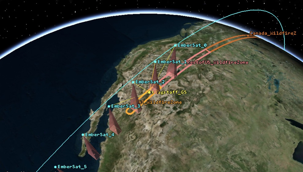
Live public-orbit data.
EmberSat train illustrative.
Drag to rotate.

Super-Early Wildfire Intelligence

Every wildfire
starts small enough
to stop.

EmberSat turns satellite observations into wildfire alerts crews can use. Our software has already run autonomously for nine days across 800,000 km². We are improving and deploying that software now. Dedicated sensing hardware can extend its speed and coverage as future funding allows.

1 of 8 XPRIZE Wildfire finalists · Proven
9 days Fully autonomous over NSW · Proven
800,000 km² Monitored on public data · Proven
<5 min Future hardware goal · Design target
The Problem

Wildfires are easiest to stop when they are hardest to see.

Wildfire costs the United States on the order of $500 billion a year, all-in. Yet the moment when a fire is cheapest and safest to contain is still the hardest to see across large areas. Past roughly five acres, the odds of stopping a fire collapse below ten percent. About a quarter of fires escape initial attack, and those drive more than 85% of all area burned.

Today's satellites make operators choose. Geostationary weather satellites refresh in minutes but see large pixels. Polar imagers see finer detail but revisit less often. EmberSat is built around the number that matters at the fireground: minutes from image capture to a usable alert.

These figures are drawn from U.S. economic-impact and initial-attack research. Request the source memo.

What We Build

Our software already runs—and keeps improving.

EmberSat's software began as part of Team Snuffed's XPRIZE Wildfire entry, which the Flagstaff team carried to the finals. Alexander Shenkin then founded EmberSat, and the software now runs autonomously on public satellite data.

EmberSat NSW

Proven

One of Eight XPRIZE Wildfire Finalists

Built for the $11M Space-Based Detection and Intelligence track. Ran fully autonomous for nine days over 800,000 km² of New South Wales, entirely on public satellite data: no human in the loop, sixty active incidents on screen at once. Finals testing completed with the NSW Rural Fire Service in April 2026.
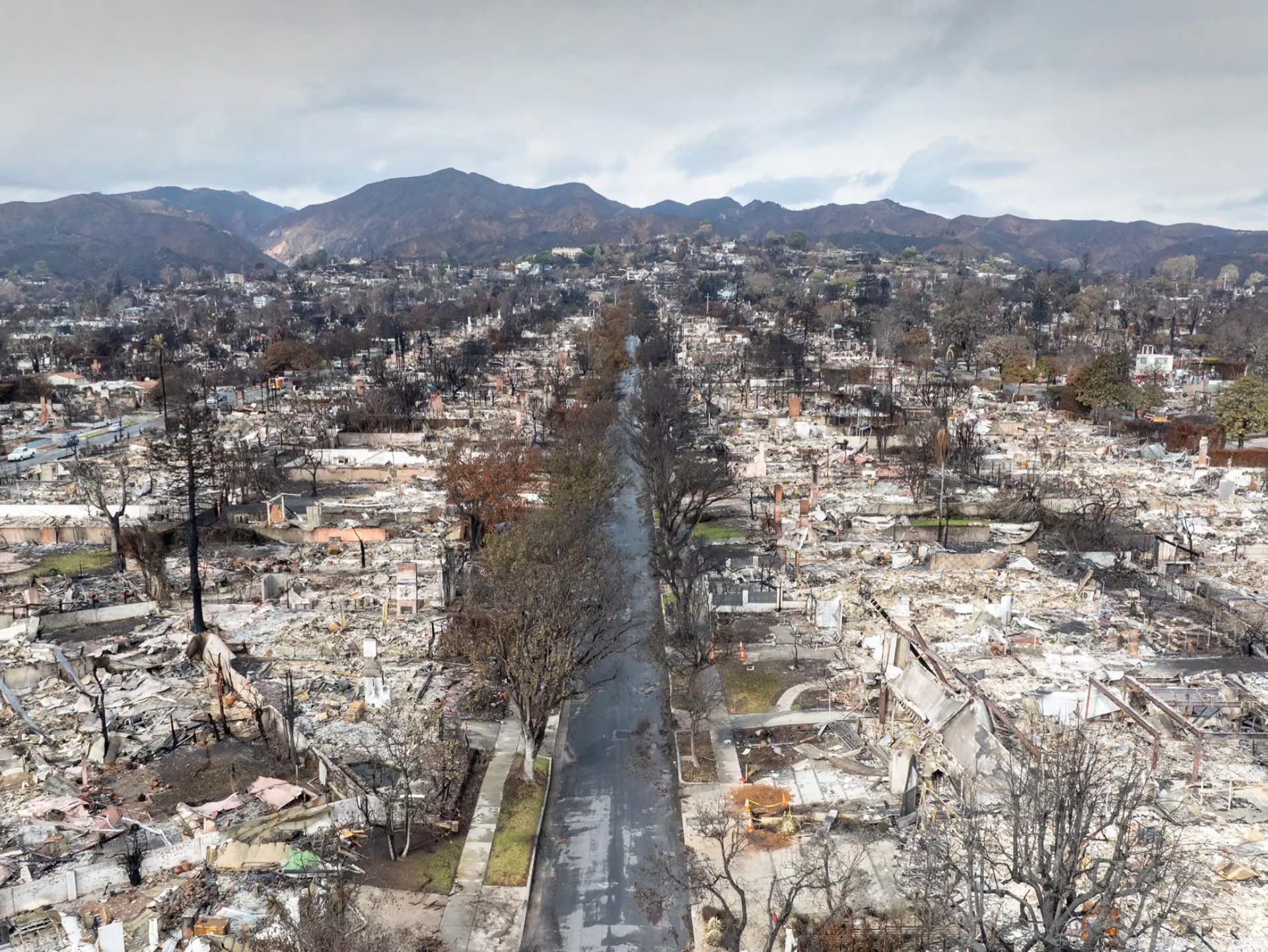
Aerial view of a burn scar

EmberSat NAZ

Deploying

Deploying Over Northern Arizona

The same detection stack, rebuilt for GOES-West and the Flagstaff fire corridor: continuous monitoring, automated alerting, and a dispatcher portal, again on public satellite data.

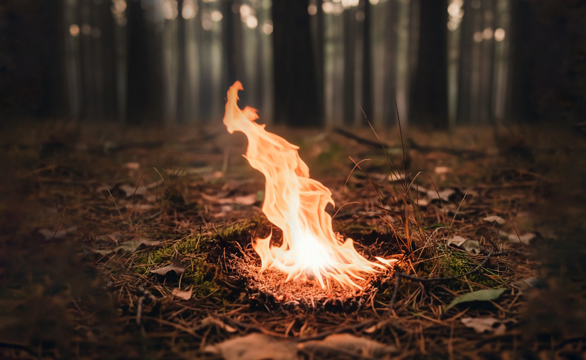
Early ignition on a forest floor

Dedicated Sensing Layer

Mission development

Designing a Satellite Constellation for Campfire-Scale Detection

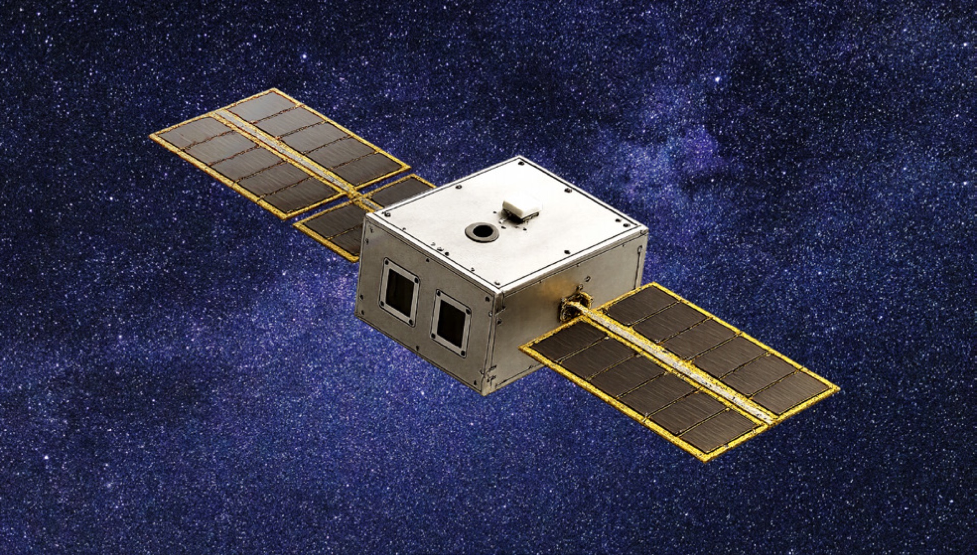
Working with our partners at Katalyst Space Technologies, we have designed focused orbits for high-risk fire corridors. The planned constellation would combine thermal-plus-RGB sensing with EmberSat's software, targeting campfire-scale detection and actionable alerts within ten minutes. We are now in discussions with spacecraft bus providers to define the path to flight. These are design targets, not current performance.

Render of a small satellite in orbit
Who It Protects

See beyond the reach of ground systems.

Fire and emergency agencies

Find new ignitions sooner, assess them automatically, and send dispatchers information they can use.

Utilities and rail corridors

Watch long, ignition-prone corridors and terrain that camera networks do not cover.

Forests and remote landscapes

Monitor vast, remote landscapes without building a dense ground network.

How It Works

Software turns public satellite data into alerts today.

EmberSat continuously ingests live public satellite feeds, identifies and prioritizes likely ignitions, and delivers usable information to dispatchers. We are improving that operational chain now. Dedicated sensors and onboard triage are a future acceleration path if hardware funding becomes available.

  • Proven Autonomous detection on public feeds. EmberSat's software has already operated without a human in the loop across 800,000 km². That is the current product foundation.
  • Deploying Built for operational delivery. The Northern Arizona deployment adds continuous monitoring, automated alerting, and a dispatcher portal to the proven detection stack.
  • Funding-dependent Hardware can shorten the loop. A future dedicated sensor layer could add focused observations and onboard triage, targeting under five minutes from image capture to a crew-usable alert. That is a design target, not current performance.
9 days Autonomous software run · Proven
<5 min Future hardware target
Future Hardware Path
Funding-dependent

The mission would monitor the fire corridor.

Public satellites either cover a wide area at coarse resolution or provide detailed images only a few times a day. A dedicated thermal and RGB sensor over the fire corridor would provide detailed images more often. The target is to detect a fire at campfire scale and alert a crew within five minutes of the image being taken.

Katalyst Space Technologies, a Flagstaff mission-engineering firm, completed the orbital and cost baseline for the mission design.

A consortium is forming to build the hardware.

Team

Fire science. Satellite engineering. Program delivery.

Alexander Shenkin

Founder & CEO

Remote sensing ecologist at Northern Arizona University, where he runs the Ecosystem Science and Innovation Lab. Engineering physics and electrical engineering at UCSD; engineering at CU Boulder; satellite communications R&D at Lockheed Martin; then ecology — Yale, a doctorate at Florida, a postdoc at Oxford. Nature co-author.

Amy Wolkowinsky

Program Director

Directs programs and operations across EmberSat, working full-time with Arizona's emergency-management and forestry agencies.

Partners

Flagstaff puts space engineering and the fireground in the same room.

Katalyst Space Technologies

Flagstaff-based mission-engineering partner. Performed the orbital, mission, and cost baseline study behind our constellation figures.

Arizona Department of Forestry & Fire Management

Years of collaboration on remote sensing of vegetation stress through the Forest Health Protection program.

USFS Region 3 Forest Health Protection

Flagstaff-based forest-monitoring overflights, using EmberSat data to prioritize where to look next.